Durris Forest
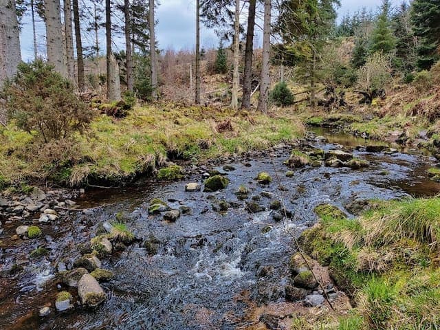
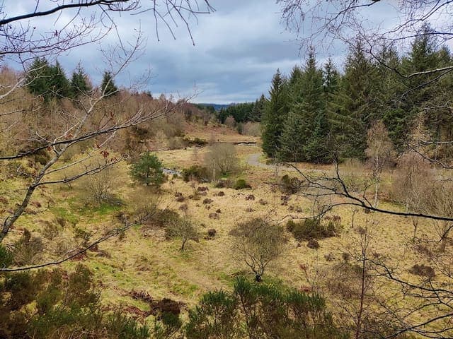
Durris Forest is a large coniferous forest covering 1,553.39 hectares (3,838.42 acres), managed by Forestry and Land Scotland. Located south of the River Dee in Aberdeenshire, approximately 3 kilometres west of Netherley on the A957 Slug Road, about 10 minutes from Stonehaven. The forest offers over 40 kilometres of trails ranging from easy forest roads to technical black-graded tracks, with splendid views over Deeside that are ever-changing due to recent thinning and felling programmes. Commercial forestry operations are evident throughout the forest.
Area: 885.5 ha
Region: Near Banchory
Address: Durris Forest, Aberdeen AB12, UK
Website: www.woodlandtrust.org.uk/visiting-woods/woods/durris-forest
🧭 Get directionsOpening hours
Public transport options are limited, with nearest bus stops in Banchory approximately 10 kilometres away.
Best for
Walking and mountain biking. The popular 9-mile cycle trail circles three peaks (Cairn-mon-Earn, Strathgyle, and Mundernal) with an optional spur to the 378-metre Cairn-mon-Earn summit. Families with young children can use many woodland paths with shorter, flatter trails suitable for younger children.
Wildlife
The forest is chiefly coniferous with commercial forestry operations evident. Recent thinning and felling programmes have opened up views of the surrounding countryside.
History
The ancient Elsick Mounth drovers' route passes through the forest. Nearby historic features include Raedykes Roman Camp, Muchalls Castle, and Maryculter House.
Reviews
Nice peaceful woodland walk
Delightful walks, well cared for by the friends of Maryculter woods.
Easy to get to, car park only very small though, fantastic variety of walks, we did a 6 mile circular, it was terrific